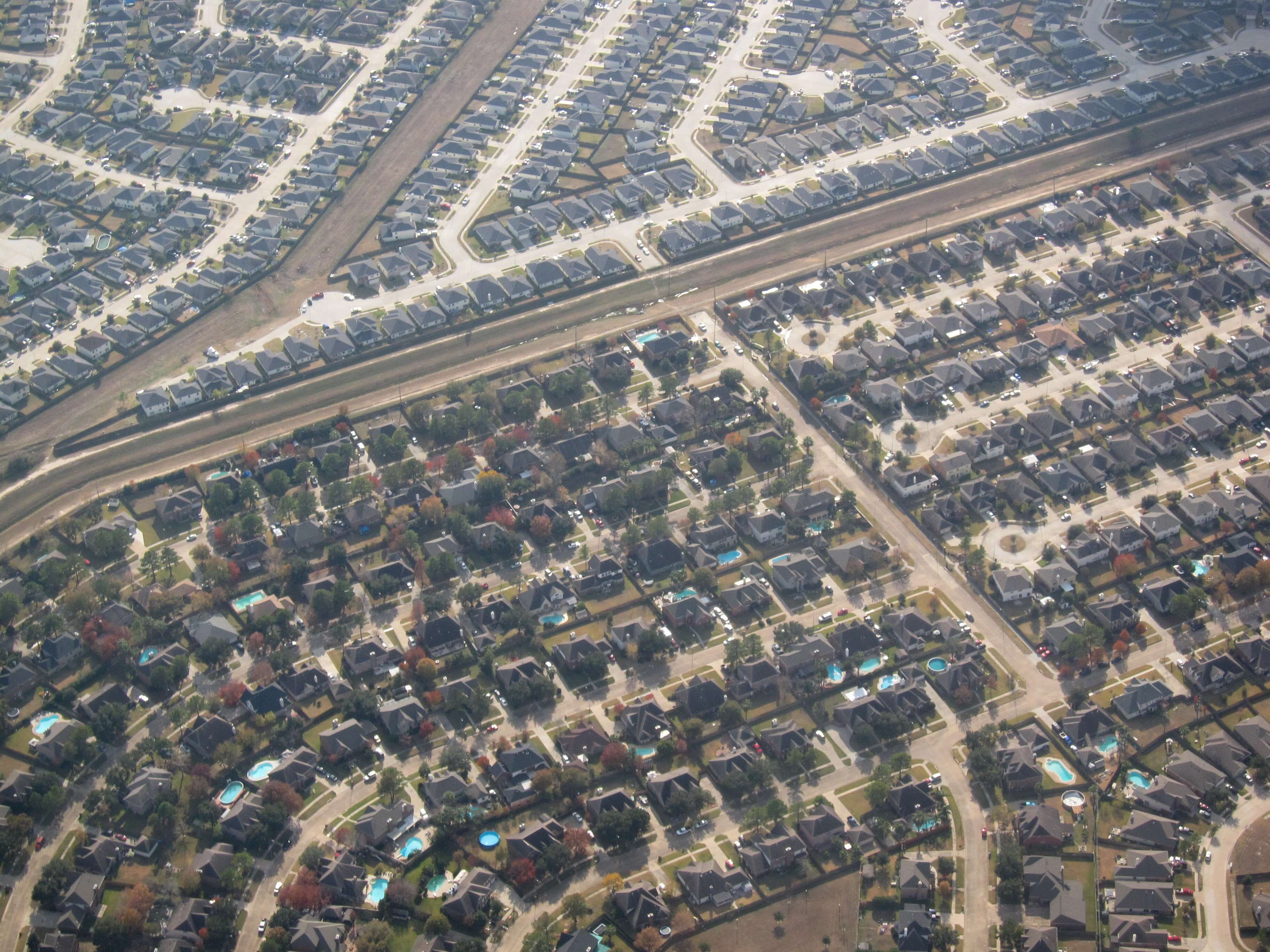

Rice researchers map out Houston health concerns

Quick Facts
- EPA fine particulate matter standard: 12 micrograms per cubic meter
- 35 micrograms per 24-hour average
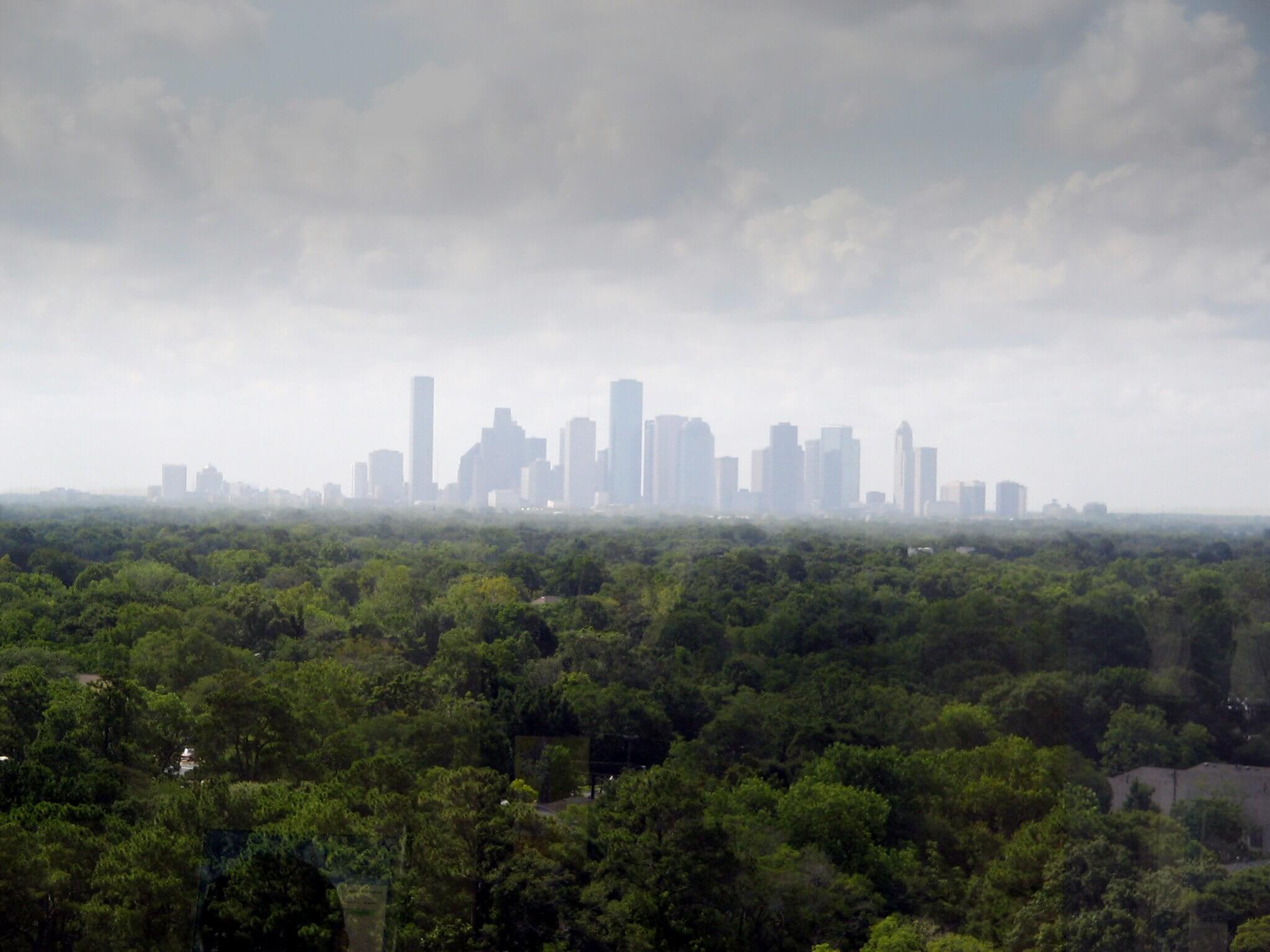
- Houston is just below EPA’s PM standard
- Still higher than the rest of the country, except for certain areas (including Los Angeles and other areas in California)
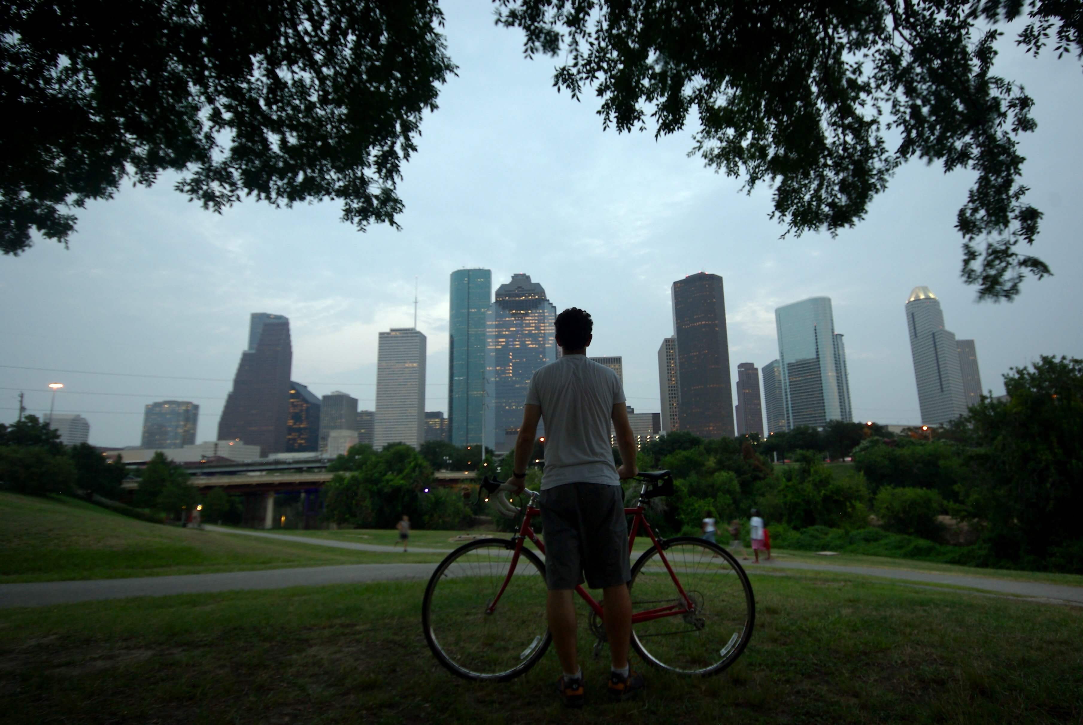
The Kinder Institute for Urban Research’s Urban Health Program at Rice University recently published eight maps that measure various health, education and poverty conditions across Houston by zip code.
Rice University sociologist and UHP director Justin Denney, Ph.D., and his team created the maps as part of the Houston Aerosol Characterization and Health Experiment, a multidisciplinary and multi-university project that studies environmental exposure and health outcomes, to characterize the city’s health in eight areas: adult asthma, heart attack, heart disease, respiratory disease, stroke, education, air quality and poverty. Denney said the reasons for selecting these eight conditions to study is not only because they all have sharp socioeconomic disparities, but all are major causes of morbidity and mortality in the United States and are linked to air pollutants.
“[UHP’S] goal has been to characterize the health of Houston,” Denney said. “What we’re concentrated on are the more external influences on health and wellbeing, and […] we’re interested in the relative importance of a few different things. One of them is the air quality situation in Houston, specifically the projects that characterize particulate matter throughout the city.”
With data provided by The University of Texas Health Science Center at Houston’s Department of Biomedical Informatics, UHP analyzed concentration levels of small particulate matter up to 2.5 micrometers in size (also referred to as PM2.5) that can have negative physiological effects.
According to the Environmental Protection Agency, because PM2.5 is in part made of toxic organic compounds and heavy metals from automobiles, smelting, processing metals and burning plants, the small particulates can cause a slew of health concerns. The EPA has linked PM2.5 exposures to asthma attacks, coughing, tightness in the chest, shortness of breath and other respiratory issues.
Rob Griffin, department chair and professor of civil and environmental engineering at Rice, who collaborated with Denney on the project, added it’s important to make the distinction that PM2.5 doesn’t solely originate from human activity, but it is naturally occurring, as well.
“The total [PM] concentration is the sum of what’s natural and what’s anthropogenic, but you can only really control what’s anthropogenic,” Griffin said, adding that many things found in nature, such as small pollen particulates and soil dust, depending on the type mineral in the soil, could be classified as a form of PM2.5.
But because humans are unable to control the amount of PM2.5 naturally emitted into the air, it’s important to look at what can be done about the anthropogenic particles and how they affect Houston communities.
“You see a clustering of health conditions and PM levels in the same places as they are clustered in terms of poverty […] but it’s not just in the poorer neighborhoods,” Denney said. “There are some troubling trends in the PM map both in poor neighborhoods and also to the north where it’s not as poor.”
Denney said the maps are a first step for UHP in studying various indicators — including levels of air pollution in the area, degree of poverty and rates of disease — to figure out their correlation to health disparities in Houston and the relative importance of air quality to communities across all socioeconomic levels.
“Some of the questions we’re actively pursuing and trying to get a handle on are: Is poor air quality important for everyone, or is it more important for people in poor communities? Is it important for people who aren’t in poor communities? Who is it most important for?” he said.
As the project progresses, UHP’s findings will give public policymakers a better sense of the city and where some of the problem areas are located to help them make more informed decisions.
“UHP is trying to provide information that might help policy get implemented at [the community level],” Denney said.
“What we’re hoping can actually happen is, by us showing that some of these folks in the more advantaged areas need to be worried about this, maybe this will actually spur some action and lead to some real results with regards to policy,” Griffin added.
Find out how your zip code compares to the rest of Houston: